
| Number of Volumes | 6 |
| Number of Issues | 20 |
| Number of Articles | 151 |
| Number of Contributors | 400 |
| Article View | 349,801 |
| PDF Download | 202,218 |
| View Per Article | 2316.56 |
| PDF Download Per Article | 1339.19 |
| Number of Submissions | 290 |
| Rejected Submissions | 118 |
| Reject Rate | 41 |
| Accepted Submissions | 151 |
| Acceptance Rate | 52 |
| Time to Accept (Days) | 82 |
| Number of Indexing Databases | 4 |
| Number of Reviewers | 490 |
"Call for papers"
The scientific journal "Integrated Watershed Management", as an open acesse journal, announces its readiness to receive research, review and short articles. This journal has applied for a publishing license from the Press Supervisory Board of the Ministry of Culture and Islamic Guidance. The journal has been organized by the Ilam University and is the result of joint activity with the Iranian Rainwater Catchment Systems Association. The journal will inform the authors of the reviewing results within one to two months by quickly and accurately evaluating the submitted articles, and the initial acceptance letter for the respected authors will be available for download from the journal's website. Accepted articles will be published online after final approval and will be published in subsequent issues of the journal.
According to the ISC database report, this Journal was included in the list of second quartile (Q2) journals in the evaluation of the year 2024 with an impact factor of 0.271.
Plagiarism Policy
Close adaptation of the thoughts and expressions of other authors, copying in the expression of ideas, structural similarities in the text or attributing the ideas and results of others without proper reference, or introducing it as a genuine scientific research, is considered "plagiarism" and the policy of this journal is "The fight against plagiarism". For this purpose, authors should check the similarity through the iThenticate for English Abstracts and samimnoor system for Farsi sections (Similarity should be less than %25).
This journal is following of Committee on Publication Ethics (COPE) and complies with the highest ethical standards in accordance with ethical laws. In addition, the reviewing process in the journal is strictly confidential.
Open access statement
This journal is committed to open access and fulfils the Directory of Open Access Journals (DOAJ) definition of open access. All articles published in this journal are immediately available for free and open access without delay, embargo periods, or registration requirements. This journal is licensed under the terms of the Creative Commons Attribution License 4.0 International (CC-BY 4.0). Under an Open Access license, authors are the copyright holder in this journal and retain the copyright and full publishing rights without restrictions, but allow anyone to download, reuse, reprint, and copy the article's content, provided that the original authors and source are properly cited.
ISC IF: 0.271 (Q2)
Country: Iran
Publishing Type: Electronic
Publishing Start: 2021
Publishing Period: Quarterly
Journal Language: Persian (Extended English Abstract)
Specialization: Watershed Management, Soil and Water Conservation, Soil Erosion, Modelling of Natural Ecosystems, natural hazards (flood, drought and mass movement) and …
Journal Type: Scientific Journal
Articles to be reviewed: Research, Review and Short Articles
Article Processing Charges: Free (No APC)
Free access to articles: Yes (Open Access)
Reviewing Type: Confidential Double-Blind
Initial investigation Time: One Week
Referee Time: Two Months
Copyright: This Journal is an open access Journal licensed under the Creative Commons license (CC BY 4.0) International License
Journal Email: iwm@ilam.ac.ir
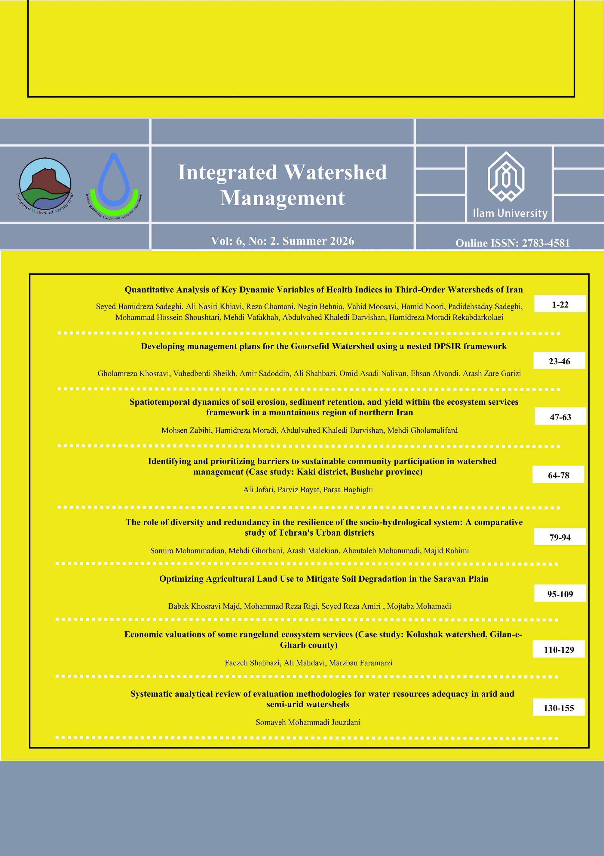
Pages 1-22
10.22034/iwm.2025.2066419.1238
Seyed Hamidreza Sadeghi, Ali Nasiri Khiavi, Reza Chamani, Negin Behnia, Vahid Moosavi, Hamid Noori, Padidehsaday Sadeghi, Mohammad Hossein Shoushtari, Mehdi Vafakhah, Abdulvahed Khaledi Darvishan, Hamidreza Moradi Rekabdarkolaei
Pages 23-46
10.22034/iwm.2025.2066974.1242
Gholamreza Khosravi, Vahedberdi Sheikh, Amir Sadoddin, Ali Shahbazi, Omid Asadi Nalivan, Ehsan Alvandi, Arash Zare Garizi
Pages 47-63
10.22034/iwm.2025.2066256.1237
Mohsen Zabihi, Hamidreza Moradi, Abdulvahed Khaledi Darvishan, Mehdi Gholamalifard
Pages 64-78
10.22034/iwm.2025.2068857.1248
Ali Jafari, Parviz Bayat, Parsa Haghighi
Pages 79-94
10.22034/iwm.2025.2067168.1243
Samira Mohammadian, Mehdi Ghorbani, Arash Malekian, Aboutaleb Mohammadi, Majid Rahimi
Pages 95-109
10.22034/iwm.2026.2075666.1250
Babak Khosravi Majd, Mohammadreza Rigi, Seyed Reza Amiri, Mojtaba Mohamadi
Pages 110-129
10.22034/iwm.2025.2059452.1225
Faezeh Shahbazi, Ali Mahdavi, Marzban Faramarzi
Pages 130-155
10.22034/iwm.2025.2064423.1234
Somayeh Mohammadi Jouzdani


